


Press Release: The ESAIL microsatellite for tracking ships at sea has captured 57 000 messages in its first 24 hours of operation, using advanced on-board processing algorithms.
The high-performance satellite was developed as a Partnership Project to help European and Canadian space companies succeed in the competitive global telecommunications market.
Launched on 2 September aboard an Arianespace Vega from Europe’s spaceport in Kourou, French Guiana, ESAIL has now completed the first phase of its in-orbit commission.
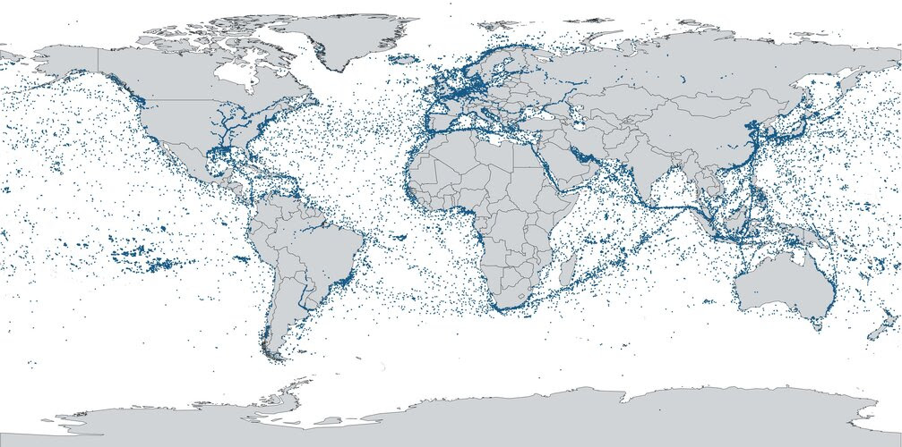
The satellite makes the seas safer by enabling industry, maritime authorities and governments to monitor fisheries, manage fleets, protect the environment and monitor security.
It tracks ships worldwide by detecting messages that ships radio-broadcast with their automatic identification systems, enabling them to be identified even when away from coastal-based monitoring stations.
The satellite was built by LuxSpace under an ESA Partnership Project with the Canadian operator exactEarth. The full team is proud of the impressive first results.
The project was supported by the Luxembourg Space Agency and other ESA member states.
ESA’s Partnership Projects aim to develop sustainable end-to-end systems, right up to in-orbit validation.